NHS South East London has harnessed spatial analysis technology to identify the optimal locations for its first two women’s and girls’ health hubs.
The work forms part of a wider initiative to improve access to services and reduce health inequalities across the region.
The newly launched hubs are delivering a core range of integrated services at neighbourhood level, situated within existing buildings on the NHS estate in line with re-use and sustainability requirements.
By making strategic use of the estate, the project aims to maximise efficiency while enhancing local provision for women’s health services.
NHS South East London has harnessed spatial analysis technology to identify the optimal locations for its first two women’s and girls’ health hubs
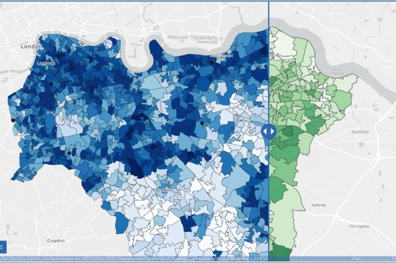
The decision on where to locate the hubs was informed by detailed spatial analysis of service usage and demographic data across the six boroughs of South East London.
NHS SE London’s data analytics team used GIS (Geographic Information System) software from Esri UK to conduct the work, enabling them to integrate multiple datasets and visualise patterns that traditional data tables and charts could not reveal.
Esri UK is a specialist in spatial data analytics solutions, headquartered in Aylesbury, Buckinghamshire.
This analysis examined patient-level service usage data, including long-acting reversible contraceptives, heavy menstrual bleeding, and menopause treatments across both primary and secondary care settings.
Demographic indicators, including deprivation data at Lower Layer Super Output Areas (LSOAs), the most granular available, were incorporated alongside journey time analysis to identify locations offering the greatest benefit to patients and local health outcomes.
The work forms part of a wider initiative to improve access to services and reduce health inequalities across the region
As a result, new health hubs were established in Lambeth and Greenwich.
In Lambeth, the hub currently operates as a virtual triage service, with plans to relocate to an in-person facility within an existing GP practice.
In Greenwich, the hub is housed within a centrally located community health centre, alongside sexual, reproductive, and contraception health services.
Its position offers good public transport access and serves an area identified as having high levels of deprivation.
The decision on where to locate the hubs was informed by detailed spatial analysis of service usage and demographic data across the six boroughs of South East London
NHS SE London plans to use the same spatial analysis techniques to monitor service uptake and accessibility over time, helping to identify any gaps or inequalities in provision.
This evidence-based approach will inform future service improvements and ensure resources are directed where they are needed most.
Further phases of the project will look to expand the data being analysed, potentially incorporating cervical screening rates, gynaecology referrals and sexual health service data.
In Lambeth, the hub currently operates as a virtual triage service
For healthcare estates professionals, the project highlights the growing role of location-based data analysis in supporting informed decision-making around the placement and operation of NHS facilities, enabling better use of existing assets and more equitable access to essential services.
Top image: spatial analysis image


